About GEOSUN
——Founded in 2015, GEOSUN is a high-tech enterprise with fully independent intellectual property rights. We integrate advanced technologies such as GNSS, INS, Visual Positioning (VL), LiDAR, and SLAM (Simultaneous Localization and Mapping) to deliver accurate spatial perception and environmental awareness solutions.
What We Do
GEOSUN is committed to the independent research, development, and manufacturing of intelligent positioning technologies, offering:
GNSS Satellite Positioning Systems
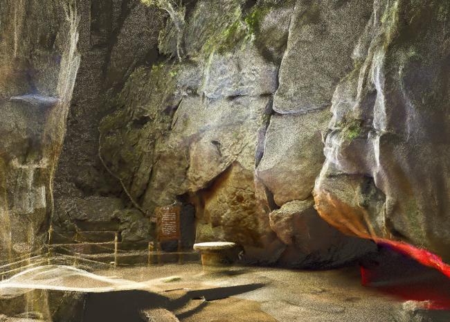
Mobile LiDAR Scanning Solutions
Multi-Sensor Integrated Navigation & Attitude Measurement Systems
High-Precision Positioning Systems for Autonomous Driving
Road Information Collection Platforms
Smart Driving Ground Truth Reference Systems
Full-service support including sales, training, and technical assistance
Application Fields
Our products are widely used across various industries, including:
Land and Natural Resource Management
Autonomous Driving and Smart Transportation
Agriculture, Forestry, and Water Resources
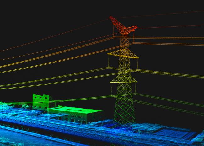
Power Line and Infrastructure Inspection
Surveying, Mapping, and Urban Planning
Smart City Development and Digital Twin Projects
Digital Factories and Intelligent Manufacturing
Metaverse and Multimedia Applications
Global Presence
We proudly serve clients worldwide with high-quality products and trusted partnerships, delivering proven LiDAR and positioning solutions across the globe.
Company Awards
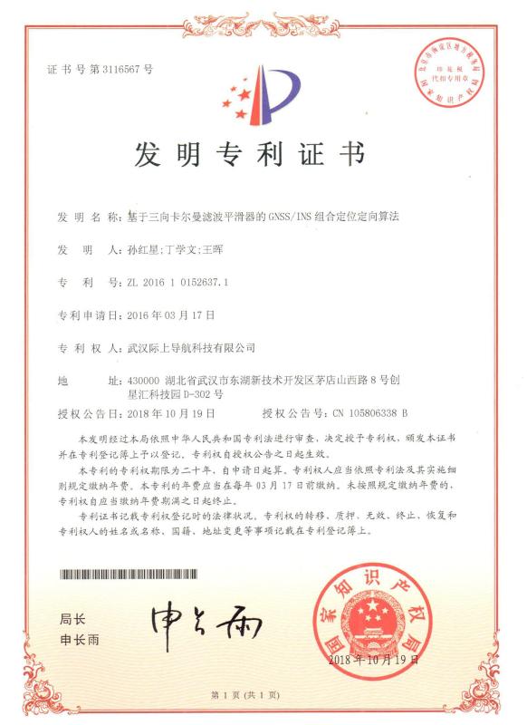
GEOSUN has obtained 19 invention patents, 9 utility model patents, 8 software copyrights, and over 40 proprietary solutions. The company is certified under ISO 9001:2008, the National Military Standard, and holds Dual-Software Certification.
Corporate Culture
At GEOSUN, we are committed to advancing spatial and perception technologies through continuous innovation in GNSS, INS, LiDAR, SLAM, and multi-sensor integration.
We transform cutting-edge research into practical tools that empower industries and improve lives.
Our values — truth, dedication, and collaboration — drive us to deliver intelligent, reliable, and user-oriented solutions.
Make the LiDAR/SLAM Solution More Applicable and Affordable — this is not just our goal, but our promise.
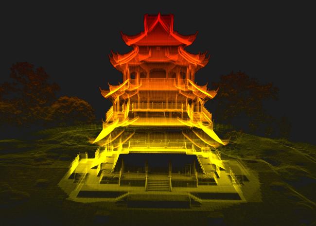
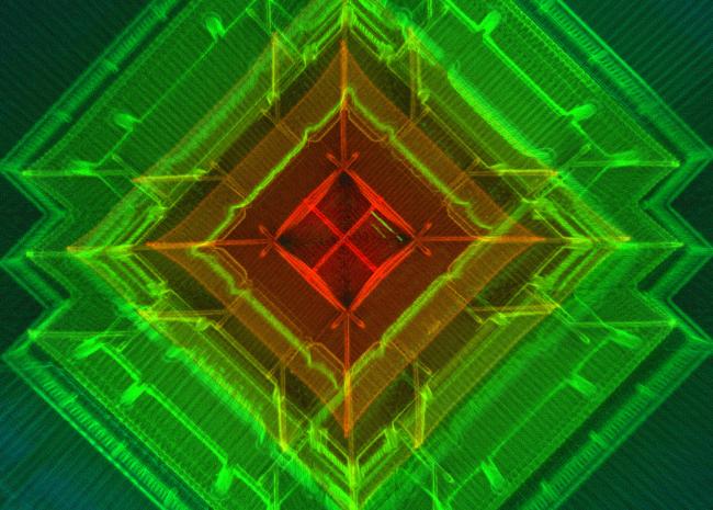
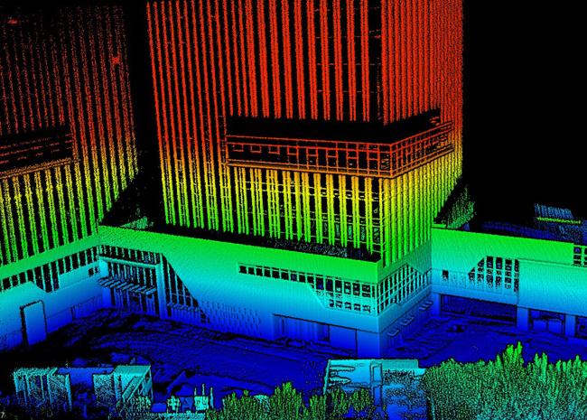
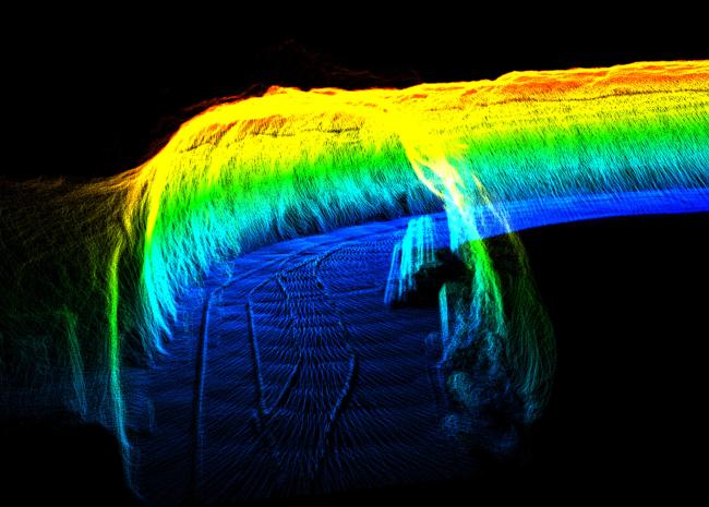
—GEOSUN Point Cloud Highlights—